
LiDAR (Light, Detection and Ranging) technology represents an exciting frontier in the fields of archaeology, geography, history, and a plethora of other adjacent subjects.
So, what is LiDAR?
In the simplest terms possible LiDAR is a form of sensing technology that enables the rendering of highly detailed 3D models of a surface that has not been explored yet. In essence LiDAR technology functions through the use of a laser that is targeted from an elevated position, usually the underside of an airplane, that is then reflected back up from the ground. Scientists measure how long it takes for the reflected beam to be detected by the system’s receiver and can then use the Time of Flight (TOF) to generate maps of the area below.
LiDAR is a form of sensing technology that enables the rendering of highly detailed 3D models of a surface that has note been explored yet.
This may sound very familiar to many readers who will immediately draw the connection to LiDAR’s sister technology Radar. Both serve a similar purpose of utilising EM waves to explore uncharted areas, however, LiDAR is arguably the superior technology due to the speed of its data collection and the accuracy of its results. LiDAR’s EM waves have a shorter wavelength than Radar’s and can thus be used to target specific objects that can return highly accurate 3D renderings.
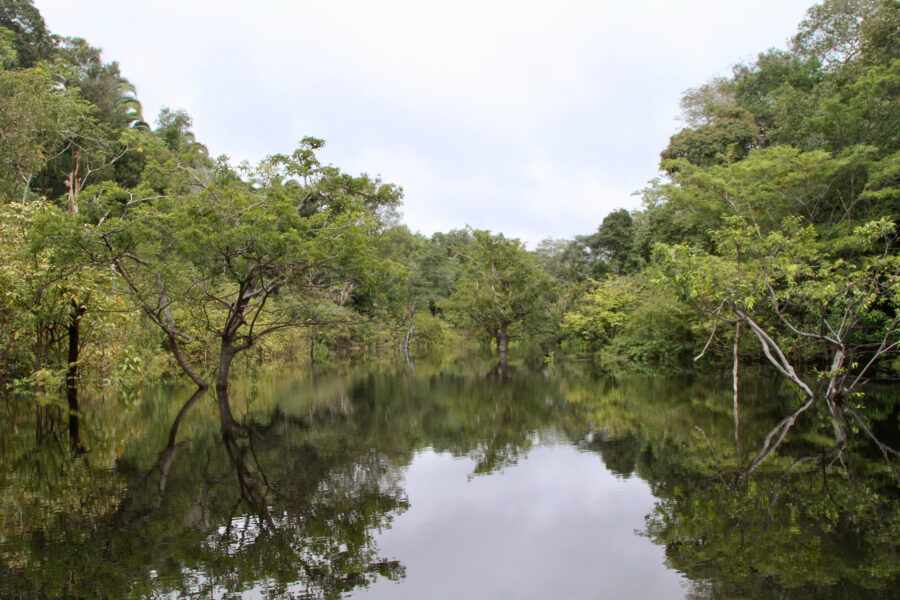
Recently LiDAR has been used in a very exciting study of the Amazon rainforest. A collaboration between 156 institutions with 230 researchers, counting among them several of our own great minds from the University of Exeter’s archaeology and geography departments, from 24 different countries has found sufficient evidence to identify numerous previously undetected archaeological sites beneath the forest’s canopy. The technology used to peel back the canopy and examine the unexplored land beneath? – LiDAR.
Beyond just exhilarating new archaeological developments, LiDAR has important practical uses in everyday life. LiDAR can be used in land management, agriculture, hazard assessment to name but a few. For a clearer illustration of how LiDAR is helpful in the day to day consider a construction site. Industrial workspaces can be incredibly dangerous and so they need to be carefully designed to minimise the risk posed to workers. LiDAR can be used to optimise the safety of these workplace environments using 3D mapping.
To conclude, LiDAR is set to be an increasingly vital part of our lives and warrants paying attention to. From scientific discoveries to self-driving cars, a future that doesn’t involve it in a significant capacity is nigh impossible to picture.